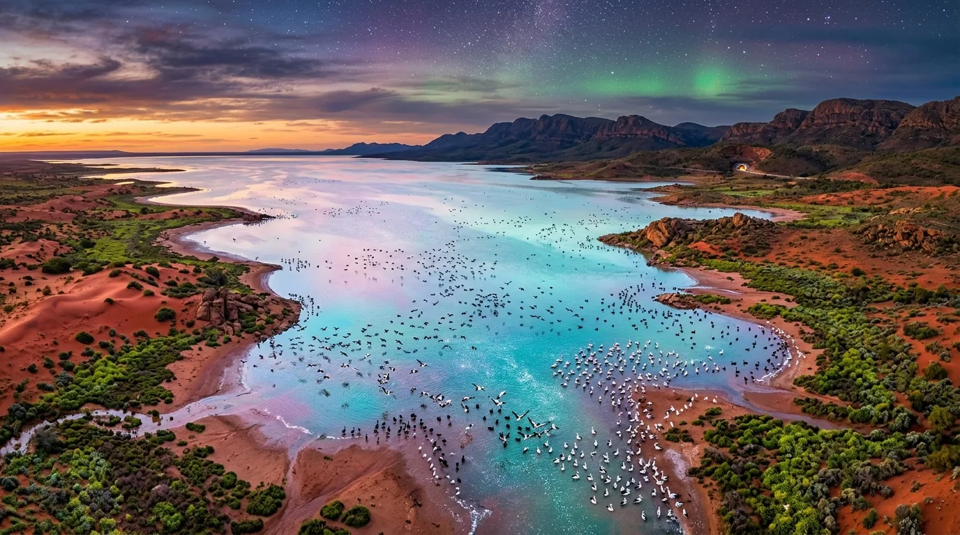
Australia’s vast arid interior is dominated by a silent geographical basin: the Lake Eyre drainage system.
Spanning 1.2 million square kilometers across four states and territories, this endorheic catchment covers roughly one-sixth of the entire continent. At its terminus lies Kati Thanda-Lake Eyre, a vast dry playa plunging 15 meters below sea level.
For over a century, Australian engineers, scientists, and planners have pursued a transformative vision: greening the arid red heart of the continent.
Two distinct engineering paradigms have emerged. The first proposes digging a 300-kilometer marine canal north from Spencer Gulf to fill the basin with seawater. The second, pioneered in 1938 by Dr. J.J.C. Bradfield, proposes tunneling through the Great Dividing Range to divert monsoon floodwaters inland.
This technical evaluation examines the hydraulic feasibility, atmospheric physics, and modern pumped hydro potential of transforming central Australia.
The Terminal Sink: Lake Eyre at -15 Meters
Lake Eyre is an endorheic terminal sink. Water entering the basin has no outlet to the ocean and leaves only through solar evaporation.
The lake bed consists of thick crystalline salt crusts overlying saturated saline muds. Under natural conditions, the lake fills completely only three to four times per century when intense tropical monsoons push heavy rainfall down Cooper Creek and the Warburton River.
When full, Lake Eyre covers approximately 9,500 square kilometers, transforming the arid wilderness into a thriving avian breeding ground. Within two years, intense desert heat evaporates the surface water, leaving a barren white salt desert.
Proposal 1: The Spencer Gulf Marine Canal and Salinity Pitfalls
The earliest proposals for an inland sea called for a direct canal to the Southern Ocean.
The geographic route starts at Port Augusta on Spencer Gulf and runs northward through Lake Torrens to Lake Eyre North. While Lake Eyre sits at -15 meters, the intervening terrain is not uniformly downhill.
A canal must traverse a natural topographic saddle rising 50 to 60 meters above sea level near Marree. The hydraulic gradient across this 300-kilometer path is extremely flat (S0 ≈ 0.00005), making passive gravity flow impossible without massive 60-meter excavation trenches or high-volume pumping stations.
Importing marine water into a terminal sink creates a severe ecological disaster:
- Evaporation Deficit: In central Australia, annual evaporation exceeds 2.5 to 3.0 meters per year. Maintaining a full 9,500-square-kilometer sea requires a sustained ocean inflow rate of 750 to 900 cubic meters per second.
- Salinity Accumulation: Ocean water carries roughly 35 grams of dissolved salt per liter. Inflowing seawater would deposit over 80 million tons of new salt into the basin every year. Within decades, Lake Eyre would become a sterile, hypersaline brine pool unable to sustain wildlife or riparian vegetation.
A raw seawater canal solves water presence at the cost of total ecological collapse.
Proposal 2: The Bradfield Scheme and Freshwater River Diversion
In 1938, Dr. John Bradfield, the renowned engineer behind the Sydney Harbour Bridge, published an alternative framework based on freshwater diversion.
Tropical North Queensland receives heavy monsoon rains along its narrow coastal strip. Coastal rivers such as the Tully, Herbert, and upper Burdekin discharge millions of megalitres of clean freshwater into the Coral Sea every wet season.
The Bradfield Scheme captures this tropical runoff on the eastern flank of the Great Dividing Range. High-elevation dams direct water through large-diameter tunnels cut through the mountain range into inland river systems like the Thomson, Flinders, and Diamantina rivers.
Modern civil assessments using Tunnel Boring Machines (TBMs) propose boring 40 to 60 kilometers through the mountain spine. Once through the divide, gravity carries fresh water across gentle inland gradients into the channel country and the northern Murray-Darling Basin.
According to water resource audits by the Commonwealth Scientific and Industrial Research Organisation, realistic divertible runoff yields approximately 1,100 to 1,500 gigalitres per year. This volume could drought-proof regional pastoral holdings and restore seasonal wetland corridors across Queensland and South Australia.
Atmospheric Physics: Can an Inland Sea Break the Continental Heat Dome?
A central hypothesis behind inland water schemes is that large water bodies alter continental rainfall patterns. Proponents argue that evaporating billions of cubic meters of water inside central Australia will induce cloud formation and trigger widespread rains.
Atmospheric science provides a clear verdict:
- Thermal Moderation: A large water body undeniably provides microclimate cooling. Water absorbs solar radiation through its high specific heat capacity, reducing daytime summer maximums by 2 to 3 degrees Celsius across the immediate basin.
- Boundary Layer Humidity: Evaporation elevates low-level atmospheric humidity, generating localized morning dew and fog corridors along river valleys.
- The Rainfall Limitation: According to meteorological modeling by the Australian Bureau of Meteorology Climate Group, surface evaporation cannot trigger convective precipitation alone. Central Australia is dominated by a persistent subtropical high-pressure ridge with strong descending air masses. Rain requires unstable upward convective lift and cold upper-tropospheric air, which flat desert terrain cannot generate.
An inland freshwater system cools temperatures and builds vital humidity corridors, but it cannot convert central Australia into a tropical biome.
Integrating Pumped Hydro with South Australia’s Renewable Grid
The modern civil justification for inland water transport is pairing water security with electrical grid stabilization.
According to the Australian Energy Market Operator Report, South Australia generates over 70% of its electricity from wind and rooftop solar. However, the state lacks deep long-duration storage assets.
The Flinders Ranges rise between Spencer Gulf and Lake Eyre, reaching elevations of 1,171 meters at St Mary Peak. This provides vertical drops between 400 and 800 meters within short horizontal distances:
- Seawater Pumped Hydro: A closed-loop pumped hydro facility in the southern Flinders Ranges pumps seawater to high-elevation reservoirs during midday solar peaks.
- Gigawatt-Scale Balancing: Releasing water through reversible Francis turbines during evening wind droughts delivers 1.0 to 2.5 gigawatts of dispatchable, synchronous inertia for the National Electricity Market.
- Dual-Purpose Conduits: Pumping energy can co-power desalination or water treatment facilities, turning energy infrastructure into a catalyst for inland water security.
Australia’s dream of an inland sea evolves from romantic geoengineering into practical infrastructure: combining trans-mountain freshwater diversion with high-head energy storage to green the red heart of the continent.