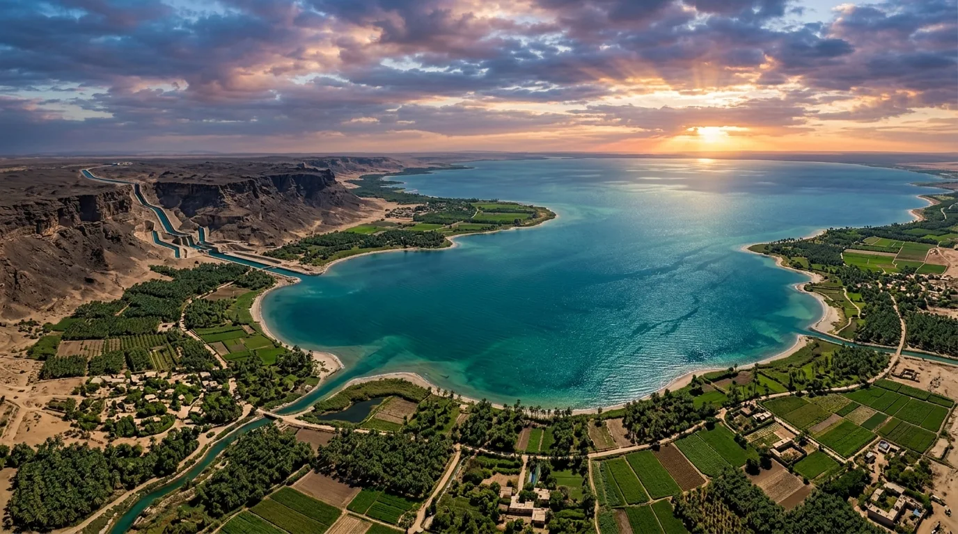
In the hyper-arid expanse of Egypt’s Western Desert sits one of the most remarkable topographic depressions on Earth: the Qattara Depression.
Covering approximately 19,600 square kilometers, the basin descends to 133 meters below Mediterranean sea level. At its northern rim, the escarpment lies just 55 kilometers from the open Mediterranean coast.
For over a century, civil engineers proposed flooding this desert basin. Boring subterranean coastal conduits routes Mediterranean seawater inland, creating a 12,000-square-kilometer desert sea.
Unlike river dams that fill and spill, Qattara operates as a perpetual solar-evaporative engine. The desert sun evaporates surface water continuously, allowing the basin to swallow hundreds of cubic meters of seawater every second without overflowing.
While early engineers viewed this project purely through the lens of hydroelectric power, its primary significance is planetary terraforming. Flooding Qattara cools the eastern Sahara, elevates regional atmospheric humidity, and stimulates coastal agriculture across North Africa.
The Geological Sink at -133 Meters
The Qattara Depression is the second lowest natural land point in Africa, surpassed only by Lake Assal in Djibouti. The depression spans 300 kilometers east to west and 135 kilometers north to south, exceeding the land area of Lebanon.
The northern boundary forms a sheer limestone escarpment rising 200 meters above the depression floor. The basin floor consists of salt marshes, clay pans, and hypersaline sabkhas underlain by deep bedrock.
Because the floor lies far below sea level, gravity does all the hydraulic work. An intake tunnel can deliver seawater directly from the coast to the escarpment edge. There, penstocks direct falling water into subterranean powerhouses before discharging into the growing lake.
The Thermodynamics of the Solar-Evaporative Engine
The hydrological mechanics of an evaporative inland sea combine gravity with solar radiation.
In Egypt’s Western Desert, annual open-water evaporation rates average between 1.8 and 2.0 meters per year. As seawater fills the basin, it expands into an artificial lake.
At an operational surface elevation of -60 meters, the lake covers approximately 12,000 square kilometers. At this equilibrium surface area, annual evaporation matches inflow:
Evaporation Volume = 12, 000 km2 × 1.8 m/year = 21.6 billion m3/year
Dividing 21.6 billion cubic meters across the year yields a steady-state inflow rate of approximately 685 m3/s.
According to turbine specifications in the International Hydropower Association Assessment, modern Francis units exceed 90% water-to-wire efficiency. Dropping 685 m3/s through a 60-meter net operational head generates firm electrical output:
P = ρ ⋅ g ⋅ Q ⋅ h ⋅ η ≈ 1, 025 × 9.81 × 685 × 60 × 0.90 ≈ 372 MW
This continuous 370 megawatts of baseload generation operates entirely without burning fossil fuels or consuming freshwater rivers.
Protecting the Nubian Sandstone Aquifer
The engineering feasibility of Qattara hinges on a critical environmental factor: groundwater protection.
Directly beneath and adjacent to the depression lies the Nubian Sandstone Aquifer System, the world’s largest fossil freshwater aquifer. To the southwest sits the fertile Siwa Oasis, whose agriculture depends entirely on artesian freshwater springs.
Historically, geologists warned that unlined canals would allow dense saltwater to infiltrate surrounding porous rock, contaminating regional freshwater supplies.
In May 2026, Egyptian authorities formally deprioritized unlined seawater canal plans, pivoting toward dry solar and wind developments while requiring closed-loop hydraulic containment for any future marine proposals.
Modern tunneling solves this challenge through impermeable precast concrete conduits. Dual 16-meter diameter Tunnel Boring Machines (TBMs) line tunnels with sealed gaskets, completely isolating high-salinity seawater from surrounding aquifers during conveyance.
Peaking Power and Renewable Grid Balancing
While the steady-state baseload yields roughly 370 megawatts, the facility’s strategic economic value lies in high-capacity pumped storage.
Egypt is constructing vast solar arrays across North Africa, including the 1.8-gigawatt Benban solar park. Solar generation produces intense midday surpluses followed by steep evening deficits.
Qattara provides natural topography for gigawatt-scale peaking storage:
- Solar Pumping: During midday solar peaks, cheap electricity pumps seawater from the intake channel into an upper plateau reservoir on the escarpment (+200 m elevation).
- Evening Discharge: During peak evening demand, stored water flows back through high-head reversible Francis turbines into the depression.
- Firm Grid Support: Discharging at 2,000 to 4,000 cubic meters per second delivers between 2.5 and 5.0 gigawatts of fast-ramping power, stabilizing Egypt’s national grid.
Planetary Terraforming and Regional Climate Dividends
Beyond electricity, creating an inland sea fundamentally transforms the microclimate of the eastern Sahara:
- Regional Temperature Moderation: A 12,000-square-kilometer body of water absorbs intense daytime heat. Prevailing northerly desert winds carry this cool, moist air southward, reducing extreme summer temperatures by 2 to 4 degrees Celsius.
- Enhanced Dew and Humidity: Evaporating 21.6 billion cubic meters of water annually elevates boundary layer humidity across the western Nile Delta, boosting crop resilience along arid margins.
- Desert Aquaculture: Controlled marine embayments support industrial aquaculture, providing sustainable protein for North Africa’s growing population.
- Strategic Mineral Extraction: Continuous evaporation concentrates salts, magnesium, and bromine in designated crystallization basins, supplying raw materials for green chemical manufacturing.
The Qattara Depression represents more than a power plant. It is a civil blueprint for turning desert topography into a living, climate-moderating oasis.